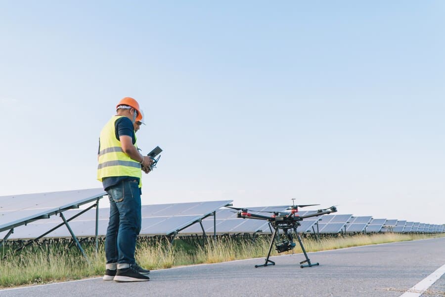
Aerial mapping services by drones have revolutionized the way businesses and organizations gather, process, and analyze geospatial data. By providing aerial perspectives, drones equipped with specialized cameras and sensors can collect high-resolution images and data that provide valuable insights into land and asset features.
Drones equipped with multi-spectral, LIDAR, and other sensors can gather data that is used to create accurate maps and models of the earth’s surface. This data can be used to monitor changes in the environment, track land use, and identify potential problems or opportunities. In agriculture, for example, drones equipped with multi-spectral cameras can be used to gather data about crop health, helping farmers make informed decisions about planting, irrigation, and pest management.
In construction, aerial mapping services by drones can be used to survey job sites and create accurate maps and models of building sites and surrounding areas. This information can be used to create 3D visualizations, monitor progress, and identify potential problems before they become major issues.
Aerial mapping services by drones are also beneficial in emergency response and disaster relief efforts, providing critical information and situational awareness to first responders and relief organizations. Drones equipped with thermal imaging sensors, for example, can be used to locate missing persons and assess the damage caused by natural disasters.
aerial mapping services by drones are a game-changer in the geospatial industry, providing faster, more accurate, and cost-effective data collection and analysis capabilities. As the technology continues to evolve, it is likely that aerial mapping services by drones will become increasingly widespread and essential for many industries.